
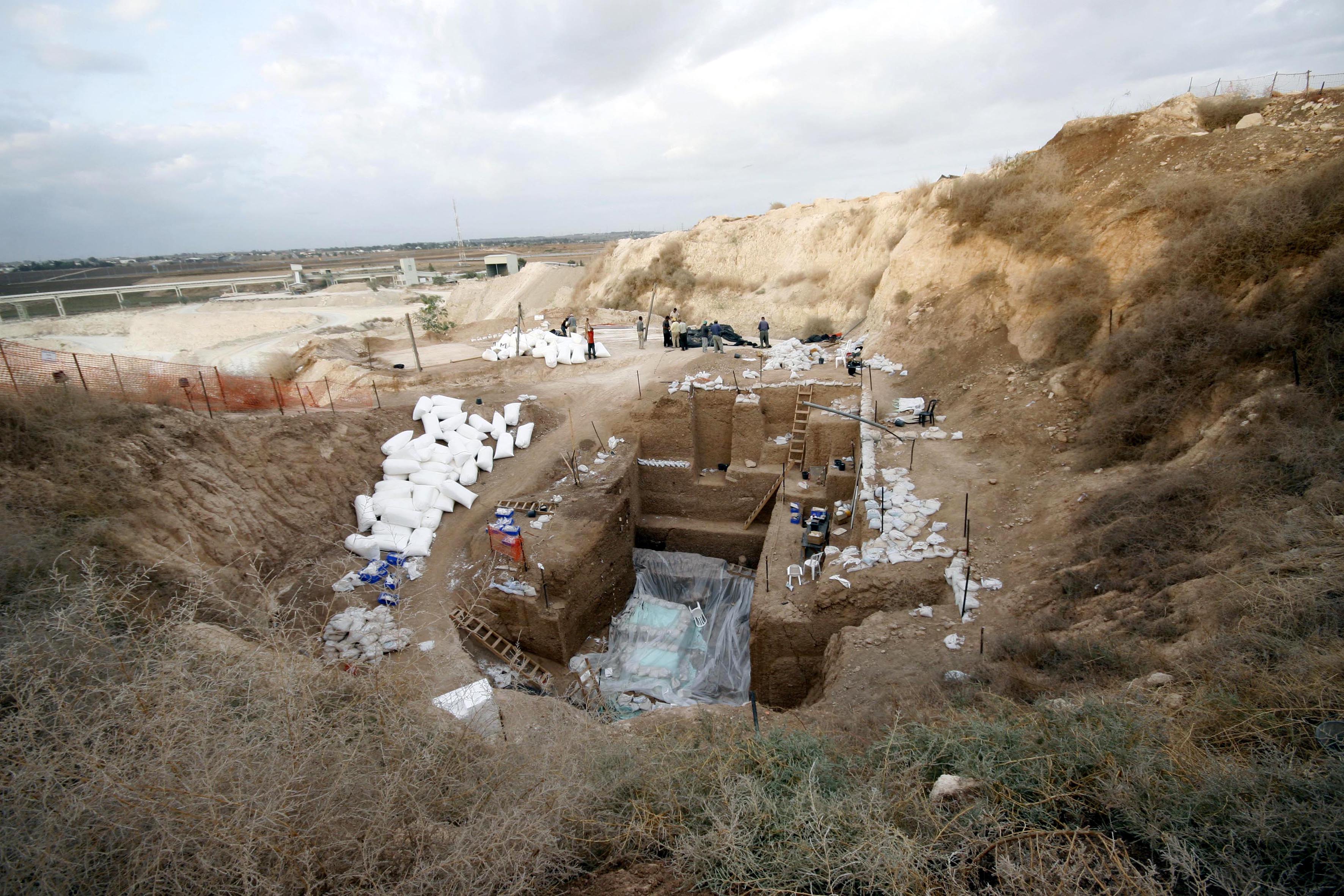
Nesher-Ramla
The Neshe-Ramlah open-air Middle Paleolithic site is situated at an elevation of 85-120 masl on the chalk terrain bordering the coastal plain of Israel. The site occupies a funnel-shaped karst depression 40 meters wide at the top and 11 meters wide at the bottom of the archaeological sequence (Zaidner et al., 2014). The depressions were formed by gravitational deformation, subsidence and collapse above karst cavities (Frumkin et al., 2015). The sedimentary sequence was shaped by colluviation of materials into the depression, waterlogging, in situ pedogenesis and human occupation (Tsatskin and Zaidner, 2014).
Dating
The site was dated by optically stimulated luminescence method (OSL) using a set of single-grain OSL measurements (Zaidner et al., 2014). Six samples dated so far provide age estimation between 170±12 at the bottom and 78±6 ky BP at the top of the anthropogenic sequence, placing the Mousterian hominin occupation at the site to the MIS 6 and 5 (Zaidner et al., 2014). According to these OSL ages, NR is the only site in the Levant that shows intensive use between 170-130 ka ago, the critical time period for understanding anatomical modern humans (AMHs) expansion outside Africa. In 2012, a partial calvaria (NR-H1) was excavated in layer VI dating to 160-170 ka years.